There has been several videos by NASA showing Hurricane Sandy from the wheather satellite.
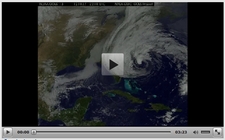
The video animation is taken from GEOS-13 satellite.
The Geostationary Operational Environmental Satellite (GOES)/ Polar Operational Environmental Satellite (POES) program is a key element in National Weather Service (NWS) operations. “Geostationary” means “it doesn’t move with respect to the earth”.
The GOES/POES mission is composed of two geostationary satellites and two polar orbiting satellites. These satellites operate in pairs.
The geostationary satellites, GOES-East covering the East Coast and GOES-West covering the West Coast, provide real-time weather data for use in short-term weather forecasting (warnings of severe weather) and space environment monitoring, as well as research and development.
The polar orbiting satellites primarily provide long-range weather forecasting, ensuring that non-visible data, for any region of the Earth, are no more than six hours old.
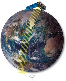
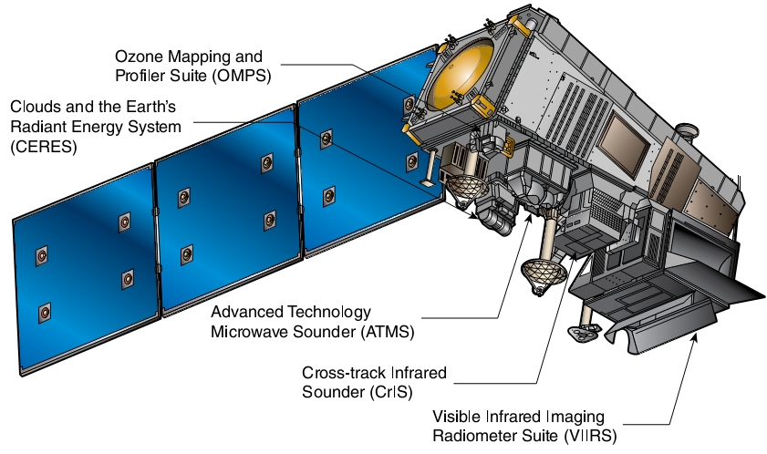
The polar satellite that was used for monitoring Hurricane Sandy was Suomi NPP.
The Suomi National Polar-orbiting Partnership collects and distributes remotely-sensed land, ocean, and atmospheric data to the meteorological and global climate change communities
It will provide atmospheric and sea surface temperatures, humidity sounding, land and ocean biological productivity, and cloud and aerosol properties.
NASA renamed NPP in honor of the late Verner E. Suomi, a meteorologist at the University of Wisconsin who is recognized widely as “the father of satellite meteorology.
link to wikipedia