Communication and signalling codes, signs and symbols

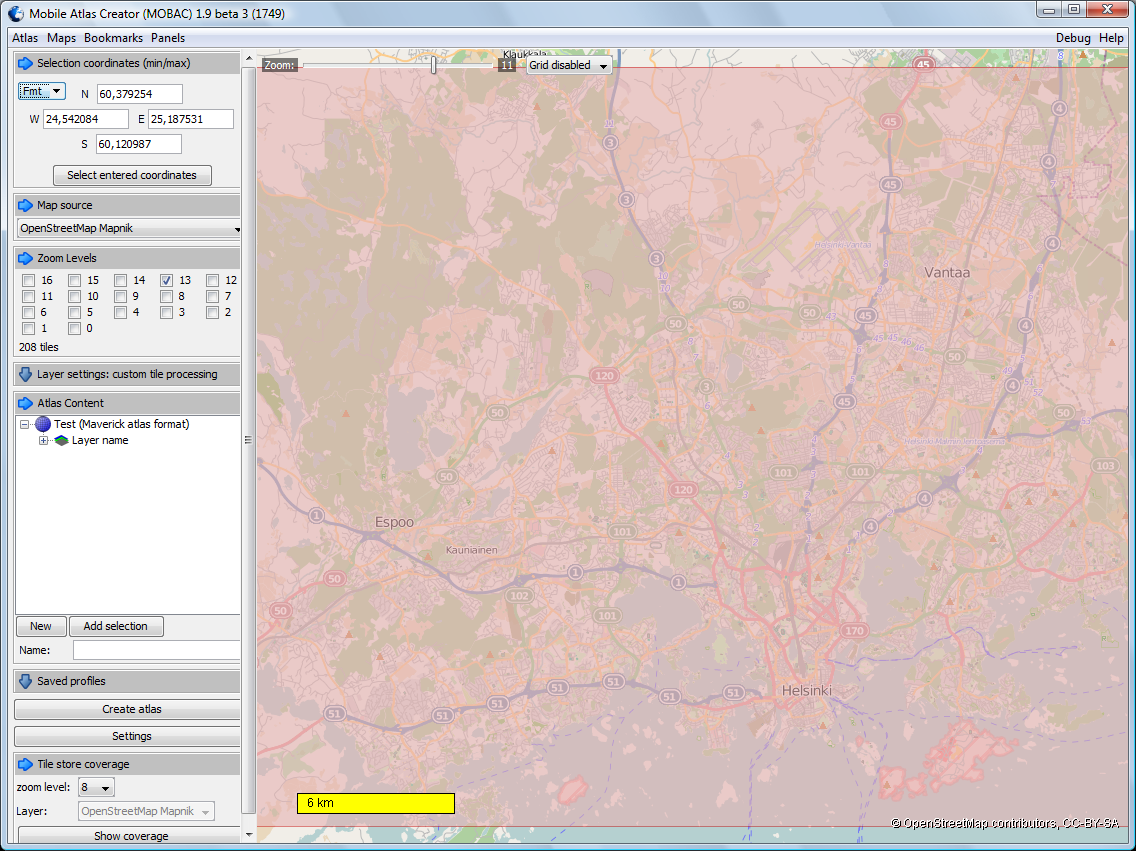
Wikipedia has a nice collection of common signals and messages.

Like:

200px-Braille A1 svg

Dive-sign-up

  • phonetic alphabet
  • morse code

example of A “· —” (midi)

  • musical notes
  • hazard symbols
  • phonetic alphabet

A Alfa
B Bravo
C Charlie
D Delta
E Echo
F Foxtrot
G Golf
H Hotel
I India
J Juliett
K Kilo
L Lima
M Mike
N November
O Oscar
P Papa
Q Quebec
R Romeo
S Sierra
T Tango
U Uniform
V Victor
W Whiskey
X X-ray
Y Yankee
Z Zulu

  • voice procedure

Affirm — Yes
Negative — No
Reading you Five / Loud and clear — I understand what you say 5×5.
Over — I have finished talking and I am listening for your reply. Short for “Over to you.”
Out — I have finished talking to you and do not expect a reply.
Roger — I understand what you just said.
Copy — I heard what you just said.
Wilco — Will comply (after receiving new directions).

  • And many others…
Posted in Tips | Comments Off on Communication and signalling codes, signs and symbols

PortableApps, Tools to use without installation from USB drive

PortableApps is more than just another tool. PortableApps is a collection of tools which can be used from USB drive without installation to the current system.

PortableApps

One can add new applications from PortableApps web page and “install” into local PortableApp tool.

All files are kept locally under main folder, so it is easy to copy PortableApps into USB drive or to network drive.

For example, one can include Open Office in the USB drive for those situations where the other computer does not have powerpoint program.

Posted in Anvanced Tools, Recommended Free Tools, Tips | Comments Off on PortableApps, Tools to use without installation from USB drive

Online site to view and analyze your GPS track file (GPX)

Maxplorer is a site to see your GPX file.

It provides additinal information about your track. More than the GPX viewers are showing.

See an example below. GPS track was captured by Maverick Android application.

maxplorer

Posted in GPS, Recommended Free Tools, Tips | Comments Off on Online site to view and analyze your GPS track file (GPX)

Open Street Map Viewer (OSMV), Tool to see GPS track files (GPX)

Open Street Map Viewer can be used. Please note, that it is still under development.

Test track is taken with Maverick application.

Google Maps source worked fine.

OSM-viewer-googlemaps


Same with Open Street Map.

OSM-viewer-OSM


Another alternative to see GPX files is GPX Editor.

GPX-editor

Posted in Anvanced Tools, GPS, Recommended Free Tools | Comments Off on Open Street Map Viewer (OSMV), Tool to see GPS track files (GPX)

Mobile Atlas Creator, Tool for creating maps for offline use

Mobile Atlas Creator is a tool for creating offline maps for your android phone.

For example, if you are travelling, and you don’t have access to mobile internet, then it is great to have offline maps with you.

Below is a screenshot example for creating offline maps of an area.

MobileAtlasCreator


One need to choose the zoom leve, name and then press button “Create atlas”. Creation takes some time, and i

MobileAtlasCreator-creating


The maps will be created in \atlases\”name_of_map_collection_with_timestamp”\Mapnik as sub-directories.


In order to use these maps in Maverick Android application, one need to copy this sub-directory structure into mobile phone. When your phone is connected to USB and phone card is mounted, then one can copy sub-directories into \maverick\tiles\mapnik folder on the phone card (G:).

PhoneCard


After diconnecting USB cable, the maps are availabe to use in Maverick GPS application.

Posted in Anvanced Tools, GPS, Recommended Free Tools | Comments Off on Mobile Atlas Creator, Tool for creating maps for offline use

Maverick, Application for GPS navigation and tracking

There are many free GPS related applications available in Android Market.

Maverick is one of them. Home page is here . Best features are:

  • support for various map formats
  • maps can be online or offline
  • maps and tracks can be viewed in PC (requires another tool)
  • track support
  • turn off display while recording a track

Screenshot with one track is visible here below. The track was about 5 km long, and took 44 minutes. The scale of the map is 13.

Maverick-track-example

Various map format can be selected. I find the Open Steet Map as a good map which shows also walking paths in the city.

Maverick-map-sources


Creating maps

If data traffic is enabled then maps are automatically stored in directories while you walk (or move). If you prefer, or plan to visit other places, then one can try to create maps beforehand. For example Mobile Atlas Creator can be used for creating maps.

Related Tools

  • Mobile Atlas Creator for managing maps
  • XXX for viewing track (gpx files)
Posted in GPS, Recommended Android Applications | Comments Off on Maverick, Application for GPS navigation and tracking

Cygwin, Tool for Linux environment on Windows

Cygwin is a mature tool for getting Linux command line environment on Windows.

It is an environment for developers. In the installation wizard one can choose which components to install. For example, if one wish to have software development environment with compilers, or one wish to have X-window system.

For example, xclock (below) is part of cygwin-X.

xclock

Posted in Anvanced Tools, Recommended Free Tools | Comments Off on Cygwin, Tool for Linux environment on Windows